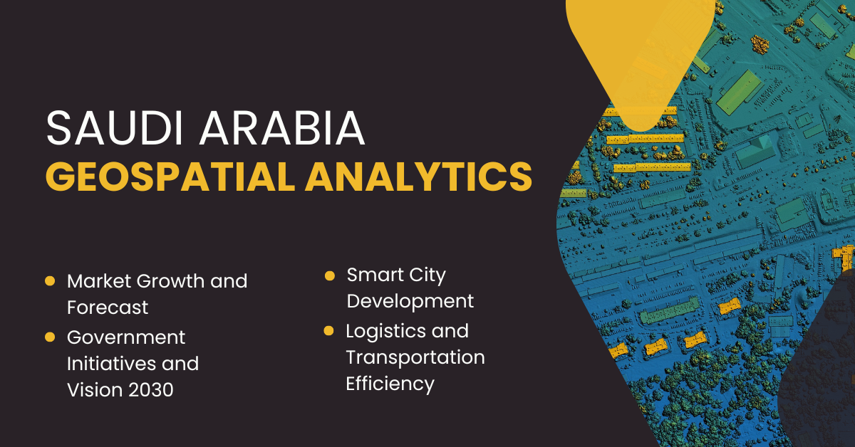
The Saudi Arabian geospatial analytics market is on an impressive growth trajectory, expected to reach USD 714.8 million by 2030 from USD 414.8 million in 2024, registering a robust CAGR of 9.5% during the forecast period. This expansion is significantly supported by the nation’s ambitious digital transformation goals and smart city initiatives, spearheaded by the Ministry of Municipal and Rural Affairs (MOMRA). Through these projects, geospatial technologies are increasingly embedded into infrastructure, governance, and urban planning.
The real estate and construction sectors are among the foremost adopters of geospatial analytics, especially for land usage planning, site selection, and project design. As Saudi Arabia invests heavily in urban development—planning over eight new cities and 1.3 million additional houses by 2030—these technologies are proving critical. Likewise, the transportation sector is leveraging geospatial insights to enhance airport and railway efficiency. This national embrace of data-driven planning, along with the government’s collaboration with institutions like the Saudi Geological Survey and Riyadh Development Authority, underscores a thriving market built on innovation, efficiency, and strategic foresight.
Key Insights
The market is segmented into geovisualization, network analysis, and surface analysis, with geovisualization accounting for around 50% of the market share in 2024. It helps governments and organizations optimize resource management and gain real-time geographical insights.
Network analysis is the fastest-growing category within geospatial analytics, driven by its applications in transportation, telecommunications, and utility networks.
End users span a wide array of sectors, including agriculture, energy and utilities, IT and telecommunications, defense and intelligence, government, mining, automotive and transportation, healthcare, and real estate. The real estate segment alone holds a dominant 35% market share in 2024, propelled by Saudi Arabia’s USD 1 trillion infrastructure investments.
The government sector is the fastest-growing end user, supported by initiatives like Vision 2030 and investments in geographical science research centers and smart urban development programs.
Regionally, the Eastern Region holds the largest share, while Al-Riyadh is poised to grow the fastest, owing to focused infrastructure enhancements and digital integration in urban centers.
The software component dominates the market with a 55% share in 2024, driven by the integration of AI, machine learning, and cloud computing technologies that enhance analytical capabilities across sectors.
A major market driver is the increasing importance of location-based services, which aid in visualizing traffic patterns, optimizing delivery logistics, and enhancing consumer engagement through accurate geographic data.
The shortage of skilled professionals in spatial data analysis, remote sensing, and data visualization remains a challenge, as the country’s educational institutions lag in geospatial technology training.
Strategic moves by companies, such as collaborations with government bodies, R&D investments, and adoption of cutting-edge software platforms, are strengthening the competitive landscape in a consolidated market.
Emerging opportunities lie in integrating geospatial data with IoT technologies, offering real-time analytics for smart city infrastructure, transportation systems, and environmental monitoring.
Saudi Arabia’s focus on advanced research in geosciences, along with initiatives like the Saudi Geological Survey, aims to harness the power of spatial data for environmental and resource management, laying a foundation for long-term market sustainability.


